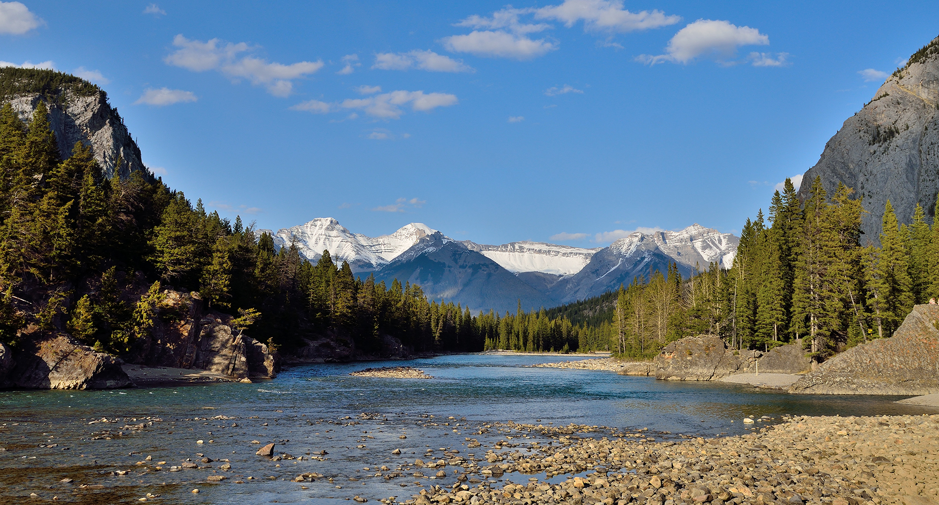
Fluvial Geomorphology
Fluvial geomorphology affects infrastructure and natural resource projects developed in or near flowing watercourses, and such projects have the potential to modify fluvial geomorphological processes and aquatic environments upstream and downstream of the project locations.
For these reasons, it is important to apply a thorough understanding of fluvial geomorphology as part of project design and environmental effects assessment.
We have extensive expertise in fluvial geomorphology, and in the application of this expertise to project design, environmental effects assessment, and environmental monitoring. Our expertise comprises a range of skills including:
- Fluvial landforms mapping and fluvial hazards assessment
- Aquatic habitat classification
- Hydrotechnical engineering design incorporating fluvial geomorphological analysis
- Hydraulic and sediment transport modeling and analysis
- Turbidity and suspended sediment gauging stations
- Bed material grain-size sampling and digital analysis
- Long-term stream morphology monitoring programs
By applying these skills, we have been able to serve our clients by:
- Optimally siting and designing hydroelectric and mine facilities, access roads, and bridges
- Predicting and monitoring the effects of hydroelectric and mining water impoundments and diversions on upstream and downstream sedimentation and erosion processes
- Assessing the effects of altered sedimentation and erosion processes on aquatic habitat, other instream infrastructure, and other water users